10 Geospatial Analysis Every Urban Planner Should Know
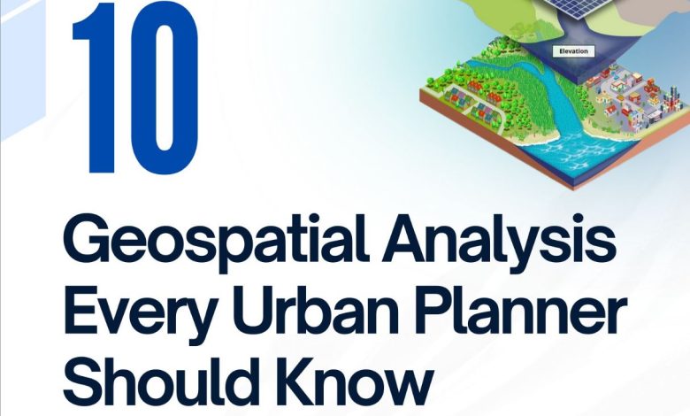
✅ 10 Geospatial Analysis Every Urban Planner Should Know
📃 Geospatial analysis is key for urban and regional planners to make better decisions with location based data. Techniques like network and accessibility analysis, buffer and proximity analysis, suitability and land use analysis and environmental and hazard risk mapping give insights into transportation impacts, service access, optimal development locations and risks. By using these methods planners can optimize resources and tackle complex problems and create more livable environments.
🎯In this post I’ve collected practical geospatial analysis used by urban and regional planners. I focused on tools that can commonly be used in the field, and excluded academic or research oriented ones. This list aims to be a extensive list of the most practical spatial analysis, especially for beginners in the field to get to know more types of geospatial analyses and improve their skills.
💬Planners, please comment! Have I missed any? If we get enough comments I’ll do a follow up post! Also, which ones have you found most useful in your work?
Thanks!
📤Feel free to share.
Source:
Temukan peta dengan kualitas terbaik untuk gambar peta indonesia lengkap dengan provinsi.