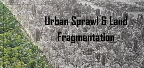
Urban Sprawl & Landscape Fragmentation
Tracking Urban Sprawl & Landscape Fragmentation Using Remote Sensing: A Gampaha District Case Study🍃
As our cities expand, the hidden costs to green spaces, agriculture, and biodiversity often go unnoticed. For my Remote Sensing for Planning Design module at the University of Moratuwa, I explored this issue through a case study on urban sprawl and land fragmentation in Gampaha, one of Sri Lanka’s fastest-growing districts.
📌 Objective
To understand how urban expansion over the last 21 years has transformed land cover and fragmented natural ecosystems in Gampaha District using remote sensing and spatial analytics.
🛰️ Methodology
🔹Collected satellite data from Landsat 7 (2002), Landsat 8 (2013), and Landsat 9 (2023)
🔹Used ArcGIS for supervised classification & NDVI analysis
🔹Calculated Urban Expansion Intensity Index (UEII) to measure urban sprawl
🔹Applied FRAGSTATS to analyze land fragmentation through patch metrics, class metrics, and landscape metrics
📈 Key Findings
▪️Urban areas increased from 40,513 ha (2002) to 73,573 ha (2023)
▪️Non-urban/vegetation areas decreased from 101,291 ha to 63,738 ha
▪️Urban Expansion Intensity Index (UEII):
2002–2013: 0.82 (Medium speed)
2013–2023: 1.45 (High speed)
▪️Landscape Division Index increased from 0.56 to 0.71, showing growing fragmentation of natural areas
▪️NDVI analysis confirmed a significant decline in vegetation over time
🔍 Why this matters
This study revealed a strong correlation between rapid urbanization and the breakdown of ecological continuity, which affects water management, biodiversity, and overall urban resilience. It reinforced how vital remote sensing tools are in sustainable planning, enabling us to monitor land use, detect risks early, and guide smarter policies.
🛠️ Tools & Techniques
ArcGIS | Landsat | NDVI | UEII | FRAGSTATS | Supervised Classification | Spatial Analytics
🌱 Let’s embrace spatial technologies to make our cities smarter, greener, and more livable!
Source:
Temukan peta dengan kualitas terbaik untuk gambar peta indonesia lengkap dengan provinsi.