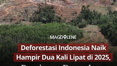
INDONESIA’s 2024 DEFORESTATION
In the holiday period of the last weeks of 2024, our investigators visited many areas in Indonesia. They only have one mission: 𝗴𝗲𝘁𝘁𝗶𝗻𝗴 𝗽𝗶𝗰𝘁𝘂𝗿𝗲(𝘀) 𝗼𝗳 𝘁𝗵𝗲 𝟮𝟬𝟮𝟰 𝗱𝗲𝗳𝗼𝗿𝗲𝘀𝘁𝗮𝘁𝗶𝗼𝗻 𝗮𝗿𝗲𝗮.
They were back with, for instance, deforestation images:
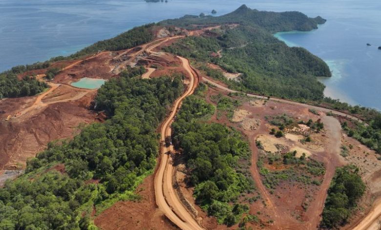
• by nickel mining in Raja Ampat of Papua (photo 1),
• by nickel mining in Central Sulawesi (photo 2),
• by oil palm development in North Kalimantan (photo 3),
• by timber plantation development in West Kalimantan (photo 4 & 5),
• by oil palm development in timber plantation concession in Riau (photo 6),
• so on so forth.
Those all will complement the images of deforestation we gathered in the previous months as we’re actively monitoring deforestation in the country.
The trips and the images is actually one of our way to verify our spatial unit’s detected deforestation by satellite imagery analysis. Its final step will be a Status Deforestasi Indonesia (STADI) 2024, or the Indonesia’s 2024 deforestation, which we plan to publish in January 2025. Within the coming weeks! All data, and the map, will be available and downloadable at https://simontini.id.
Well, as often in a trip, we also found more stories that are need to be look at. For example, active illegal logging in a national park that are the habitat of tiger, elephants, etc., in Central Sumatera (photo 7 & 8)
Special thanks to our donors who support us as institution-based rather than program-based that make it more flexible for us to respond an actual need of the environment.
Source:
Temukan peta dengan kualitas terbaik untuk gambar peta indonesia lengkap dengan provinsi.